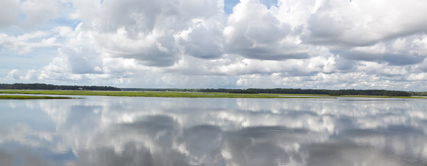
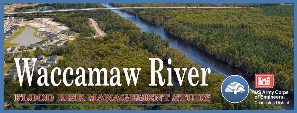
Flood Risk Management – Waccamaw River
Today is the last day to submit a comment on the Draft Feasibility Report and Environmental Assessment for the Waccamaw River Flood Risk Management Study.
Click the image below to be taken to the website where you can submit your comment and read the full report:
From the website: “The U.S. Army Corps of Engineers Charleston District and Horry County are partnering to study flood risk reduction measures for flood impact areas along the Waccamaw River and its tributaries. The study is evaluating both structural and nonstructural measures to reduce flood risks. Examples include flood barriers, floodwater diversions, and flood water retention using a range of hardened structures such as flood walls to nature-based structures such as floodplain benching. Nonstructural measures being studied include elevating, floodproofing, and acquiring structures in the floodplain.“
The objectives of the study include the following:
• Reduce/mitigate flood damages to structures, critical infrastructure, and roads within the affected communities of Conway, Bucksport, Socastee, Red Bluff and Longs
• Increase the accessibility and resilience of ingress/egress and supply routes
• Reduce the likelihood and consequences of flooding on human life and safety
Probably our biggest disappointment centers around the limited evaluation of the impact of land use on flooding, specifically the destruction of the watershed’s floodplain and wetlands and the impact of loss of these functional wetlands on flood protection. Given the ecosystem services that our floodplain and wetlands provide, it is critical that Horry County focuses on their preservation, restoration, and creation.
While the study purports to have brainstormed potential management measures, or solutions, to reduce flood risks including structural and nonstructural measures, and natural or nature-based solutions, there is minimal evaluation and identification of natural or nature-based solutions.
We support certain strategies that Horry County has outlined, including:
- establishing riparian and wetland buffers to preserve flood storage capacity thereby reducing flood risk
- preservation of mature tree canopy stands through incentives and development requirements to promote flood storage and slow runoff;
- establishment of resilient subdivision design standards to preserve open space for habitat, recreation, and flood attenuation. Implementation of these plans will provide means to counter changes to the watershed from anticipated development and to improve conditions which were already impacted;
- collaborations with private land conservation organizations and public agencies to continue to identify and implement restoration projects that will protect and improve management of lower order streams connected to the Waccamaw River.
We applaud that the report states that conservation of land in the floodplain will remain a priority for Horry County, recognizing that undeveloped forested land provides a way for slowing and absorbing the conveyance of floodwaters by providing a greater natural surface area with higher absorptive capacity; however, we fear that development pressures resulting from realized and anticipated population growth in the County will thwart the statement “it is expected that floodplains in the study area will not notably change from existing conditions.“
We were disappointed that the study team found it challenging to conceptualize feasible natural and nature-based features for the study area. The only nature-based solutions considered were land conservation, wetland restoration, and watershed storage in the form of water farming as well as some structural measures that were considered as nature-based solutions, including removing flow barriers to restore natural hydrologic flow and construction of river/stream benching.
In Socastee there was no nature-based measure identified. Both of the Longs/Red Bluff measures identified as nature-based (natural material and watershed storage) were screened out as ineffective. The only nature-based measure identified for both the Conway and the Bucksport areas (watershed storage) were retained. In both cases, the focus was on restricting land use in low-lying, undeveloped tracts to temporarily store runoff and control dissipation when storm events are expected.
We believe that there are many other nature-based measures that should have been identified and evaluated. One of these is a regenerative stormwater conveyance system. There are many online sources of information on a regenerative stormwater conveyance system but to summarize a RSC system incorporates natural stream channel design techniques and materials while minimizing soil destabilization, vegetation disturbance and establishment of invasive plants. It incorporates a system of physical features, chemical processes and biological mechanisms and is generally less expensive to construct and easier to secure permitting for than conventional stormwater conveyance projects.
Each of the study areas would benefit from an evaluation and implementation of a regenerative stormwater conveyance system. For example, a regenerative stormwater conveyance system in Cowford Swamp would benefit the Bucksport community. With the removal of legacy sediments, introduction of natural materials that enable better infiltration, and add native plant species that enable better uptake of floodwaters, it would reestablish the interconnection between the groundwater and surface water, expand the capacity of the overflow, restore subsurface lateral flow, and reduce flooding for a fraction of the cost of traditional structural and non-structural solutions.
Multiple resources can be found online including:
Maryland’s Manual Environmental Site Design: Chapter 5:
North Carolina’s Environmental Site Design Manual:
Anne Arundel County in Maryland’s Design Guidelines:
https://www.aacounty.org/sites/default/files/2023-04/SPSCdesignguidelinesDec2012Rev5a.pdf
Plus there are examples of successful implementation of RSC in both Maryland and in North Carolina.
Smithsonian’s Award Winning Muddy Creek Project:
https://serc.si.edu/research/projects/muddy-creek-restoration
Saint Lukes Stewardship Nature Restoration Project:
https://chesapeakestormwater.net/awards/st-lukes-church-restoration-of-nature/
NC Battle Grove Project:
https://ehs.unc.edu/topics/stormwater/projects/battle-grove/
Given the proven technology of Restorative Stream Conveyance, we strongly encourage the Study Team to evaluate this nature-based solution to reduce the risk of flooding to the communities in the Waccamaw River watershed.