The Nature of Flooding
Flooding along our rivers has become a constant topic in the coastal Carolinas. In the greater Winyah Bay watershed, we seem to have riverine flooding occurring with every rain event lately. As of this writing, the Waccamaw is swollen with rain that has fallen over the past month and has remained at flood stage in Conway since February 16th, 2020.
Of the top ten river crests on the Waccamaw recorded at Conway, five have been in the past five years, according to the National Weather Service. Hurricane Joaquin in 2015 was responsible for two record setting crests. In 2016, Hurricane Matthew set the new record after its extended visit to the area. But in 2018, Hurricane Florence caused two more historic crests with a new record of 21.16 feet.
While these major crests are caused by intense storms, we see minor to moderate flooding with even small storms. But why?
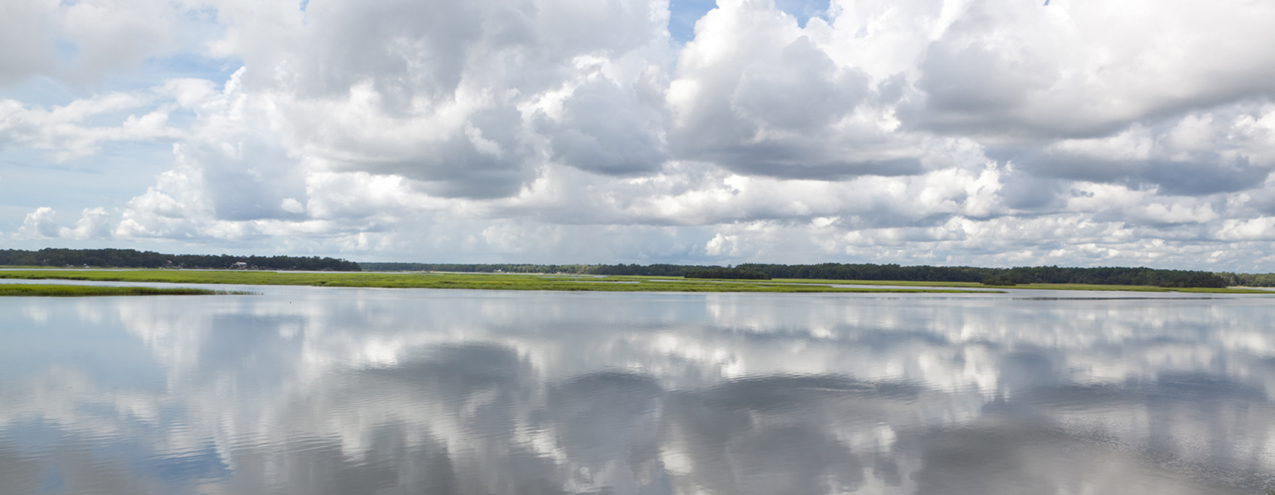
Our local rivers are responsible for draining the entire Lower Pee Dee basin, ultimately through Winyah Bay into the Atlantic Ocean. At 11,700 square miles, the Lower Pee Dee basin, that we refer to as the greater Winyah Bay watershed, is huge, an area the size of Maryland and Delaware combined! Rain that falls in this watershed will recharge groundwater aquifers, replenish wetlands and add to our rivers. More rainfall means more water in our wetlands, our rivers, our floodplains, and sometimes in our communities.
With significant rain events, including the three major hurricanes we’ve experienced over the past five years, our rivers’ floodplains will naturally experience flooding. That’s what our floodplains, wetlands and swamps are meant to do – receive floodwaters and slowly release these waters into our rivers.
But what we are now seeing is that our rivers cannot even handle normal rain storms. With the amount of rain we’ve had and our floodplains often already saturated, the natural processes for handling floodwaters are already overburdened. But preserving those natural processes is the best method for preventing flooding in our communities and for ensuring clean water for fishing, swimming and drinking.
As our area has grown, impervious surfaces have increased throughout our watershed. Impervious surfaces – like parking lots, roads, sidewalks, and roofs – increase the frequency and intensity of flooding because they prevent water from being absorbed by the ground. Instead, rainwater runs off the land and is funneled through stormwater drainage systems or directly into our rivers more quickly.
Addressing the problem of impervious surfaces in our floodplains is one solution to prevent flooding. We are working in partnership with our local governmental representatives, nonprofit partners and community members to monitor water quality, promote actions to reduce impervious surfaces, and conserve natural areas in our floodplains. Together we provide science-based research and data to help community leaders make the best decisions for our rivers and our communities.
Preserving our river resources and protecting clean water and healthy communities is important to our area’s families and our future. We are all in this together and together we can implement the needed actions to address flooding in our communities. We encourage you to reach out to your clean water team with your concerns, comments and suggestions.
Your Waccamaw Riverkeeper, Cara Schildtknecht